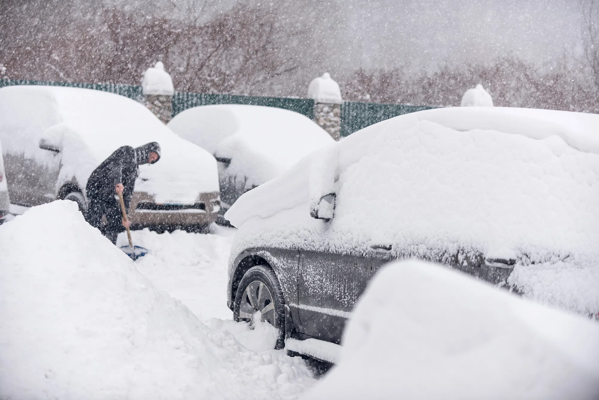
West Michigan is bracing for another round of lake-effect snow tonight.
While the widespread system snow has moved out, colder air over Lake Michigan is fueling narrow snow bands that will impact areas mainly west of U.S.-131. Communities near the lakeshore—such as Muskegon, Holland, and Grand Haven—could see several inches of fresh accumulation under the heaviest bands, while inland areas may only pick up a light coating.
What to Expect:
- Timing: Snow showers will persist through the evening and taper overnight.
- Totals: 6-12 inches possible, with locally higher amounts near the lakeshore.
- Travel: Slick roads and sudden drops in visibility are likely in heavier bands. Allow extra time and drive cautiously.
- Temperatures: Lows in the upper 20s, with wind chills in the teens thanks to breezy northwest winds.